(NI DANG SAMSON-GARCIA)
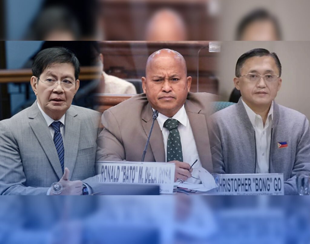
INIREKOMENDA ni Senate President Pro Tempore Ralph Recto na magkaroon ng digital map sa mga proyekto at programa ng gobyerno na ipatutupad sa susunod na taon.
Dapat anyang kasama rito ang livestreaming ng malalaking public work projects upang madaling mamonitor ng publiko.
“Projects should be geo-tagged, and there should be an app in which the status of a project is just a click away,” saa ni Recto.
Iginiit ni Recto na kailangan ng bansa ng government project surveillance (GPS) na isang sistema na may updated data sa construction projects, gayundin sa non-infrastructure deliverables tulad ng mga libro at hospital equipment.
“So sa isang school halimbawa, pwede ipakita kung ilang science laboratory equipment ang ipamimigay; kung DOH-run hospital, magkano ang budget nito sa taong ito; at kung DENR reforestation naman ay kung ilang puno ang itatanim,” diin ni Recto.
Iginiit ni Recto na kung sa ngayon ay nagagamit na ng mga may-ari ng bahay ang remote monitoring, maaari rin itong gawin sa malalaking infrastructure project ng gobyerno.
Maaari rin anyang maglagay ng job-site cameras na may real time footage na ibibigay sa publiko o time lapse video na maaaring iupload.
“In this age of Facebook Live, these should not be hard and expensive to do,” diin ni Recto.
Binigyang-diin pa ng senador na maaari ring makita sa footage ng CCTV ang mga delay sa construction.
“Raw live video is the best feedback. Pwede makita if work is on time, on budget and according to specifications,” diin ni Recto.
“He need not wait for Powerpoint reports during Cabinet meetings if he can go on a virtual inspection of projects anytime by just looking at them at the phone of Senator Bong Go,” giit ni Recto.
 349
349


